Virginia & California · Habitat and landscape change
Coastal habitat change
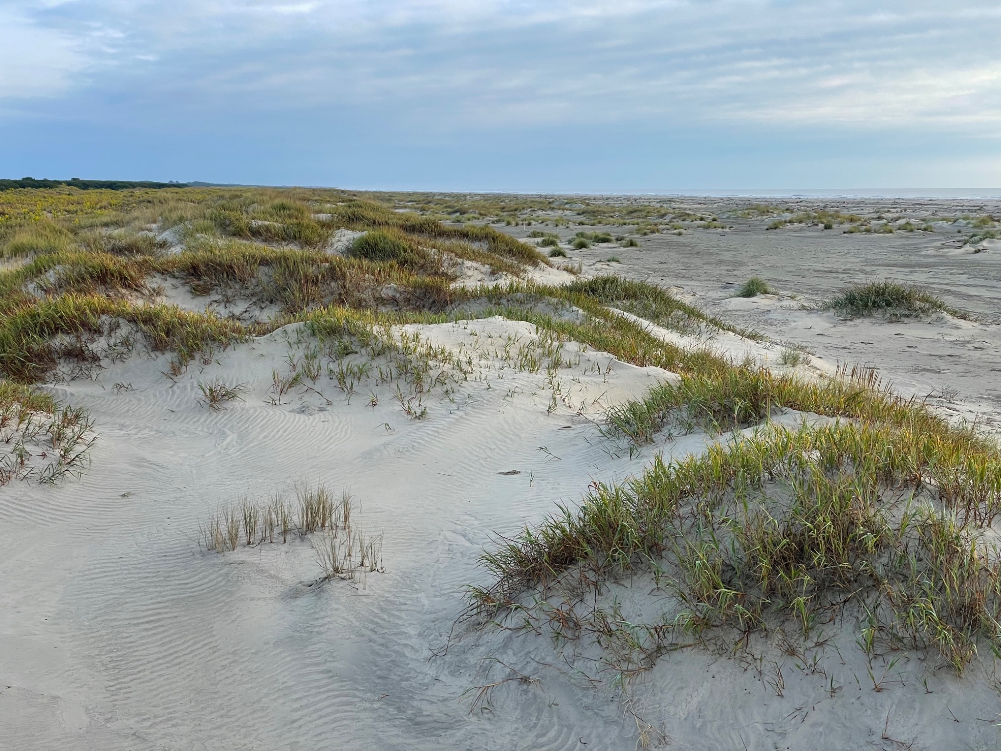
How do coastal vegetation and topography shape exposure to disturbance and recovery after erosion? We use repeat drone imagery and dune-building plant surveys to track changes at the same locations through time, linking spatial habitat structure with beach and dune dynamics.
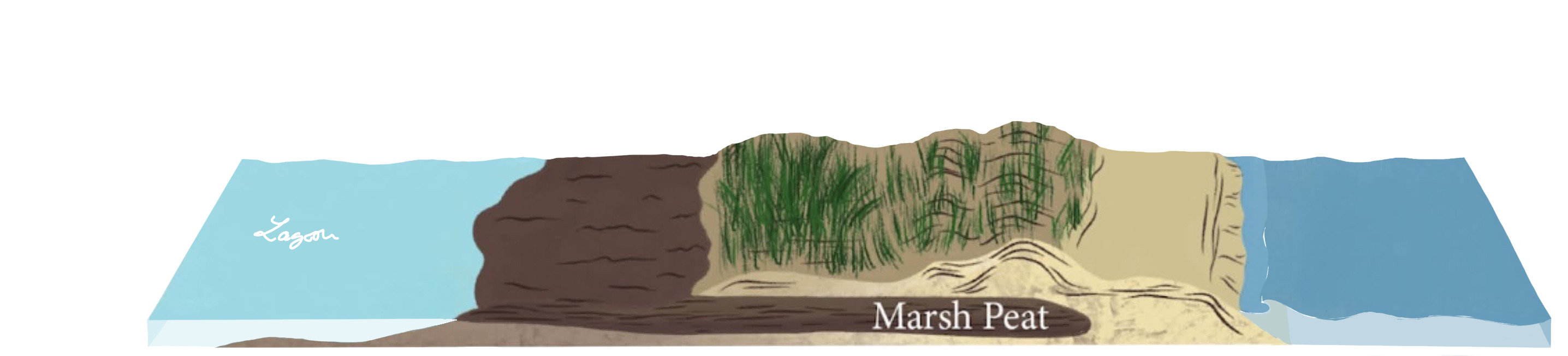
Plants, dunes & island connectivity
Virginia Coast Reserve LTER · Published research
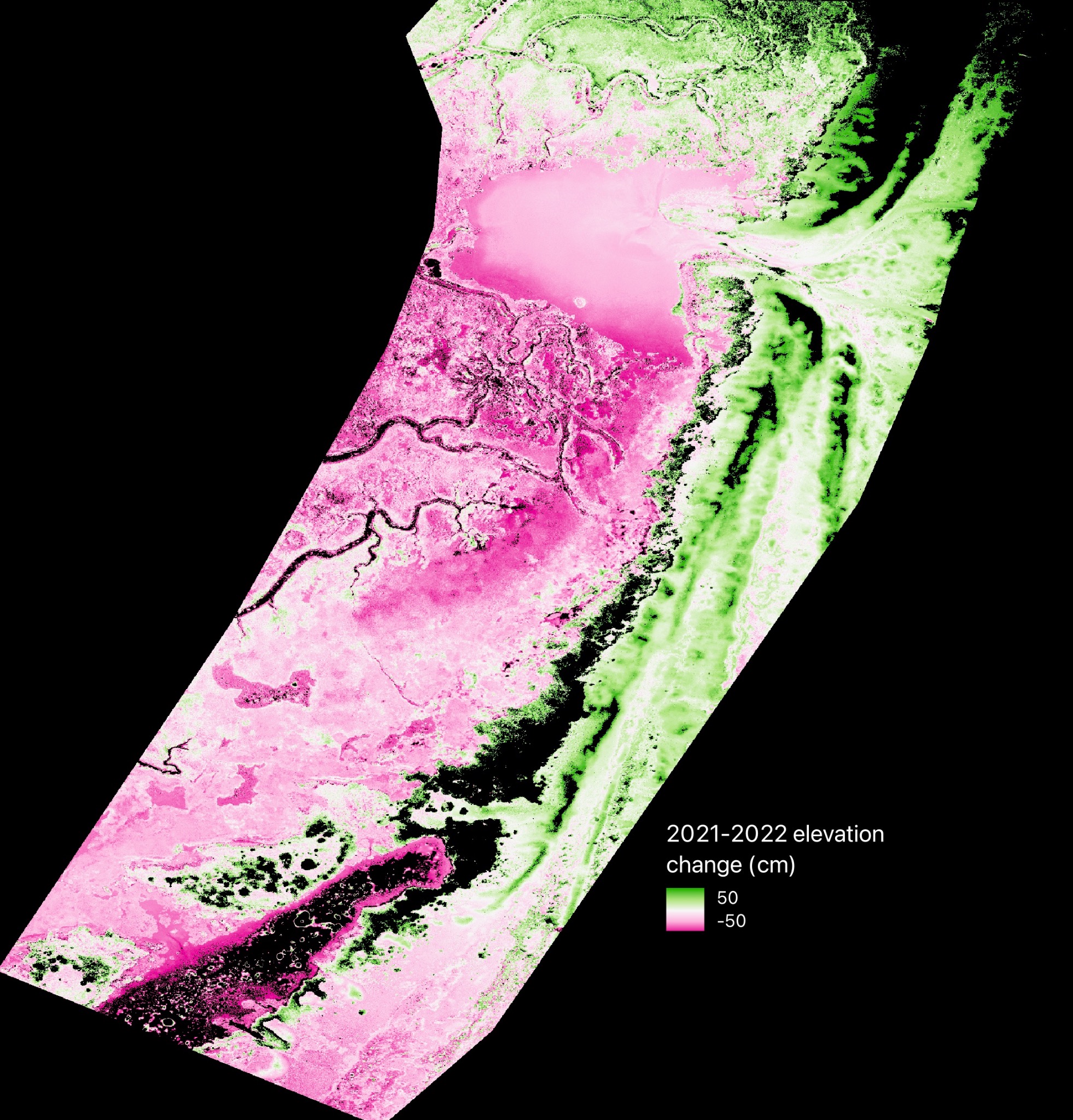
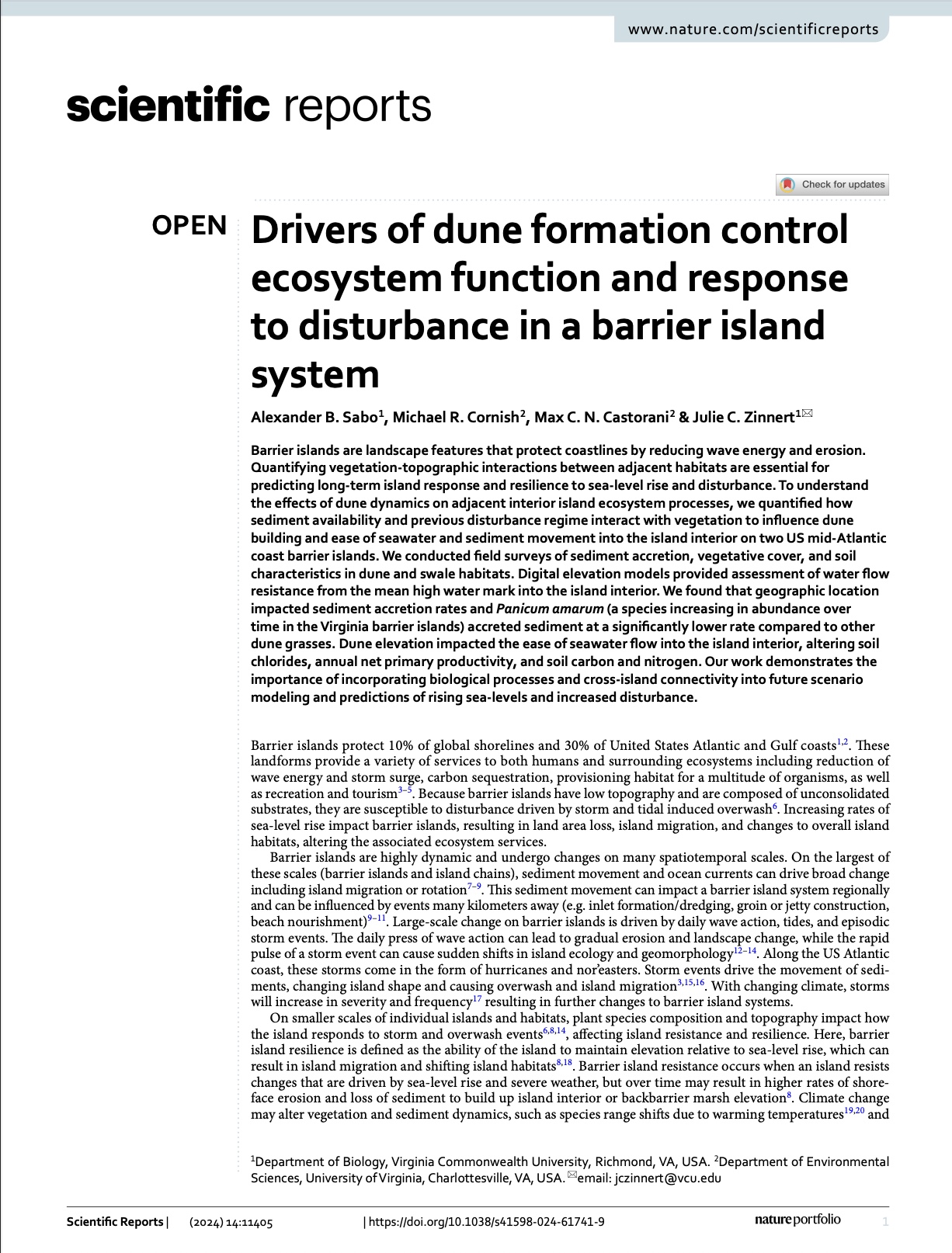
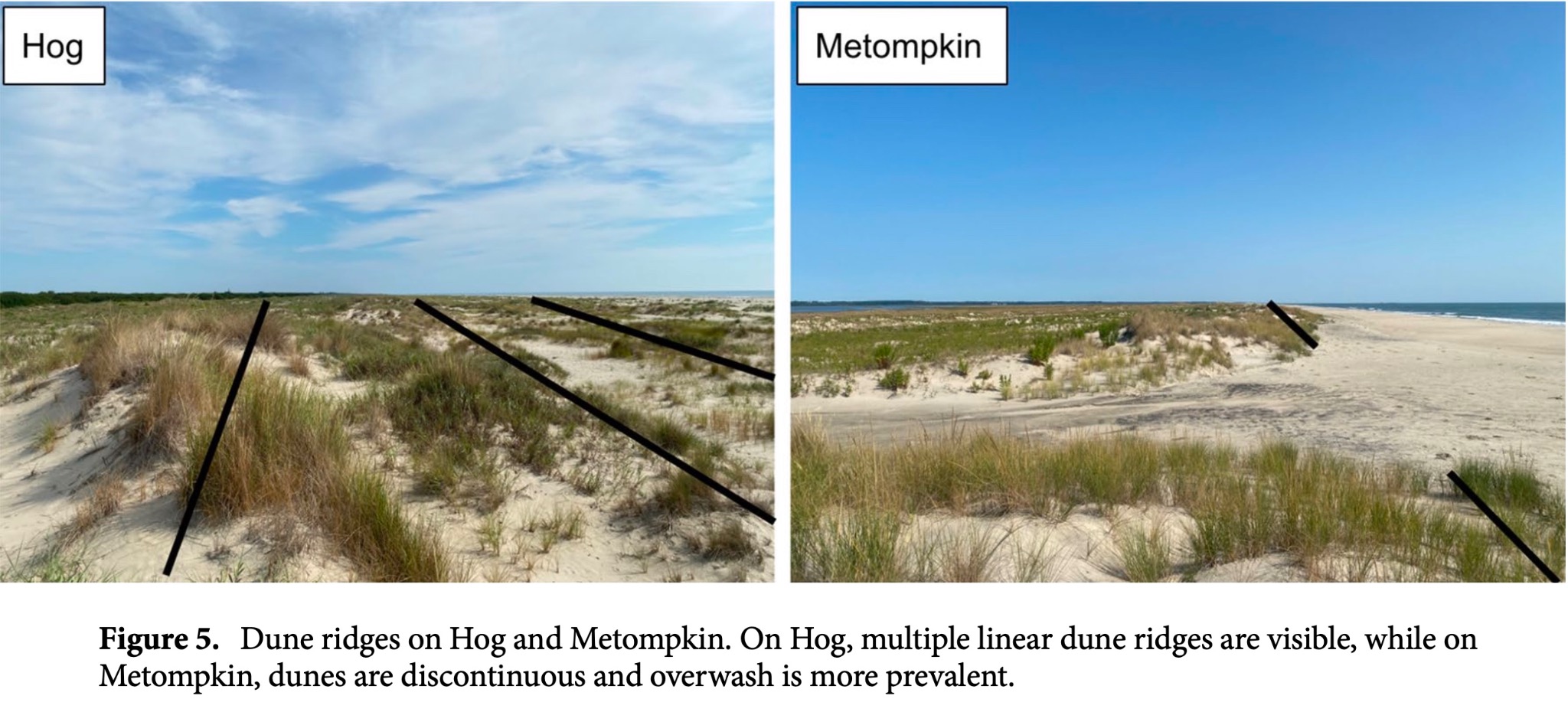
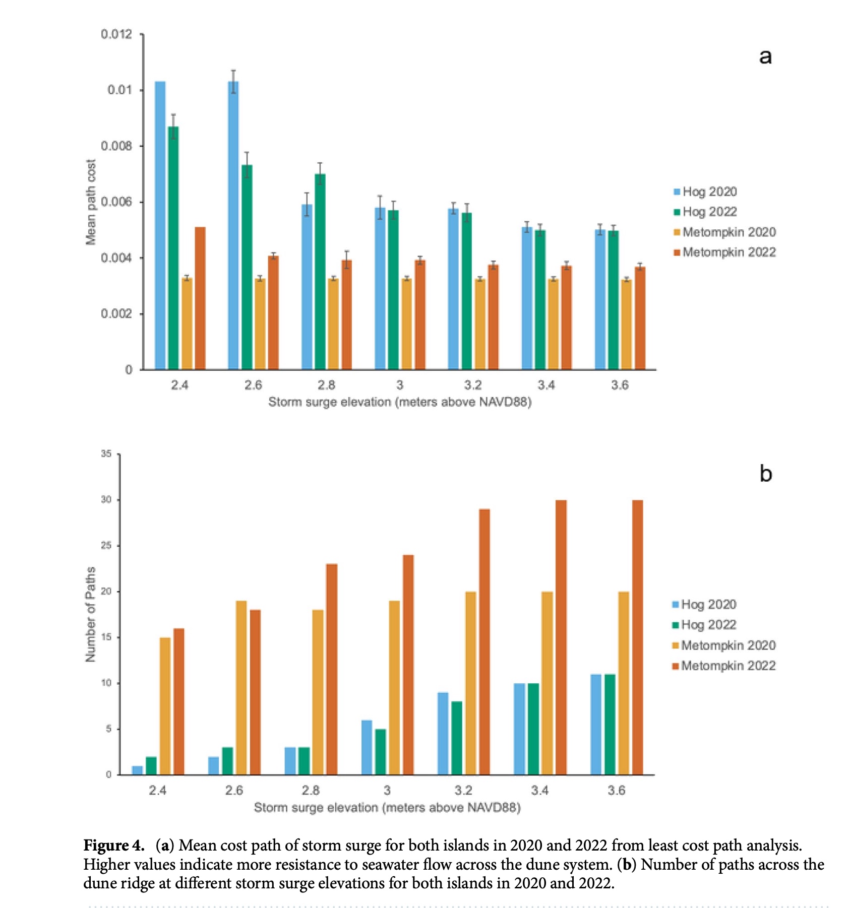
On Hog and Metompkin islands, we linked dune-building vegetation and sediment movement to interior habitats. Taller, more continuous dunes provided greater topographic resistance to seawater entry, alongside higher swale productivity and soil carbon and nitrogen.
Published figures and article
Vegetation, erosion, and recovery
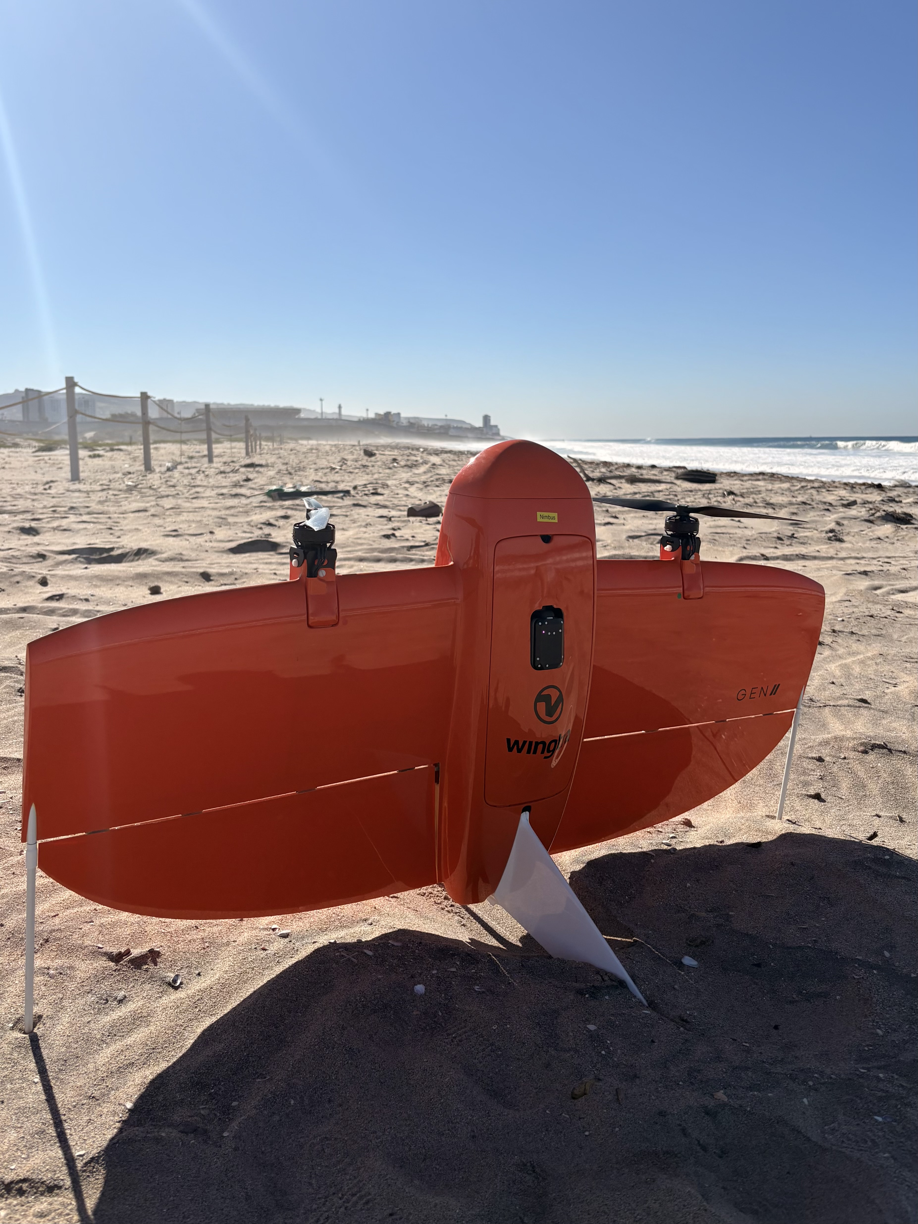
With Dr. Kyle Emery and Dr. Jenifer Dugan at UCSB, I use repeat drone (UAS) flights and dune plant community surveys to investigate beach and dune change, vegetation-mediated accretion, and recovery after erosional events.
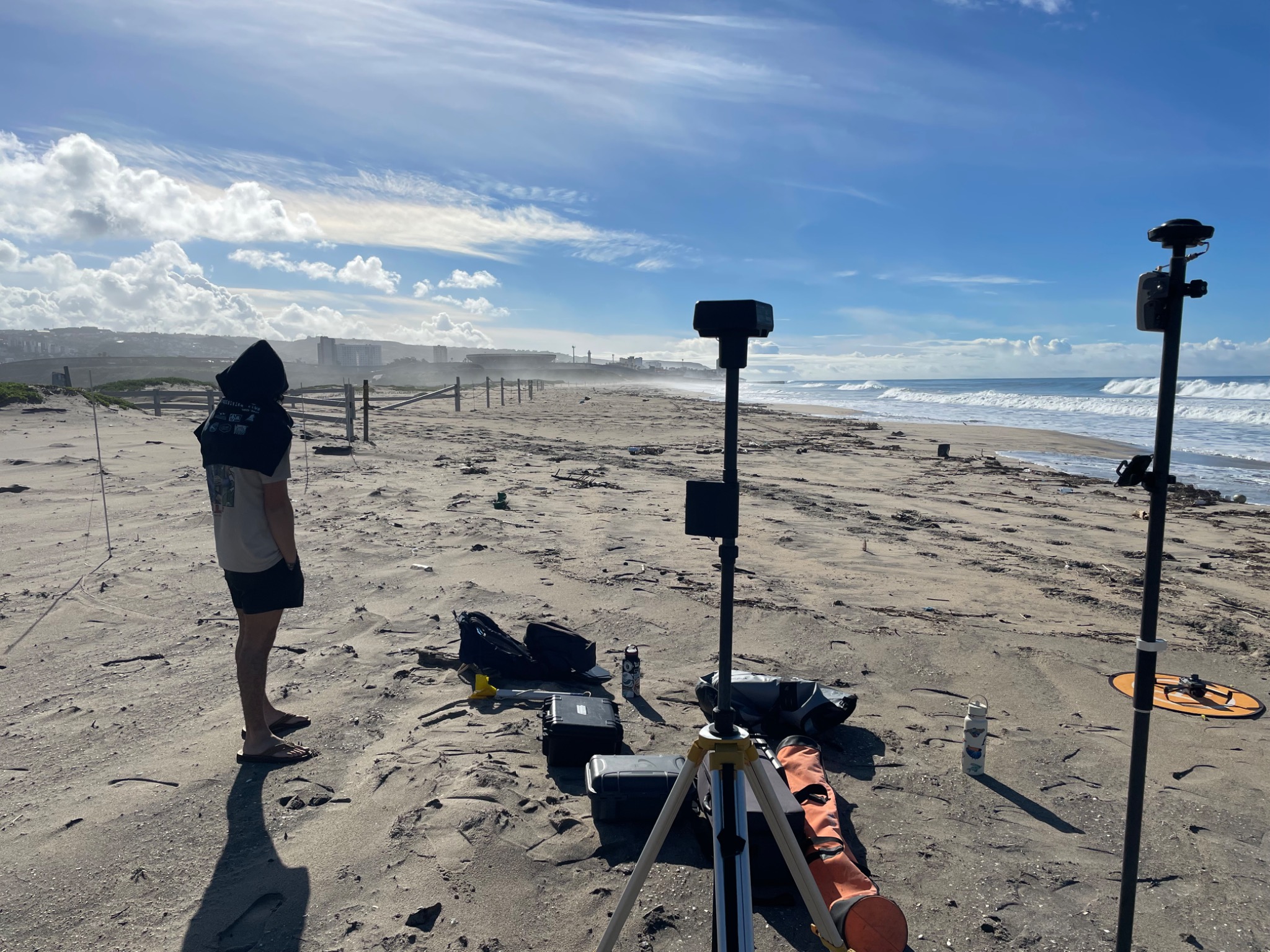
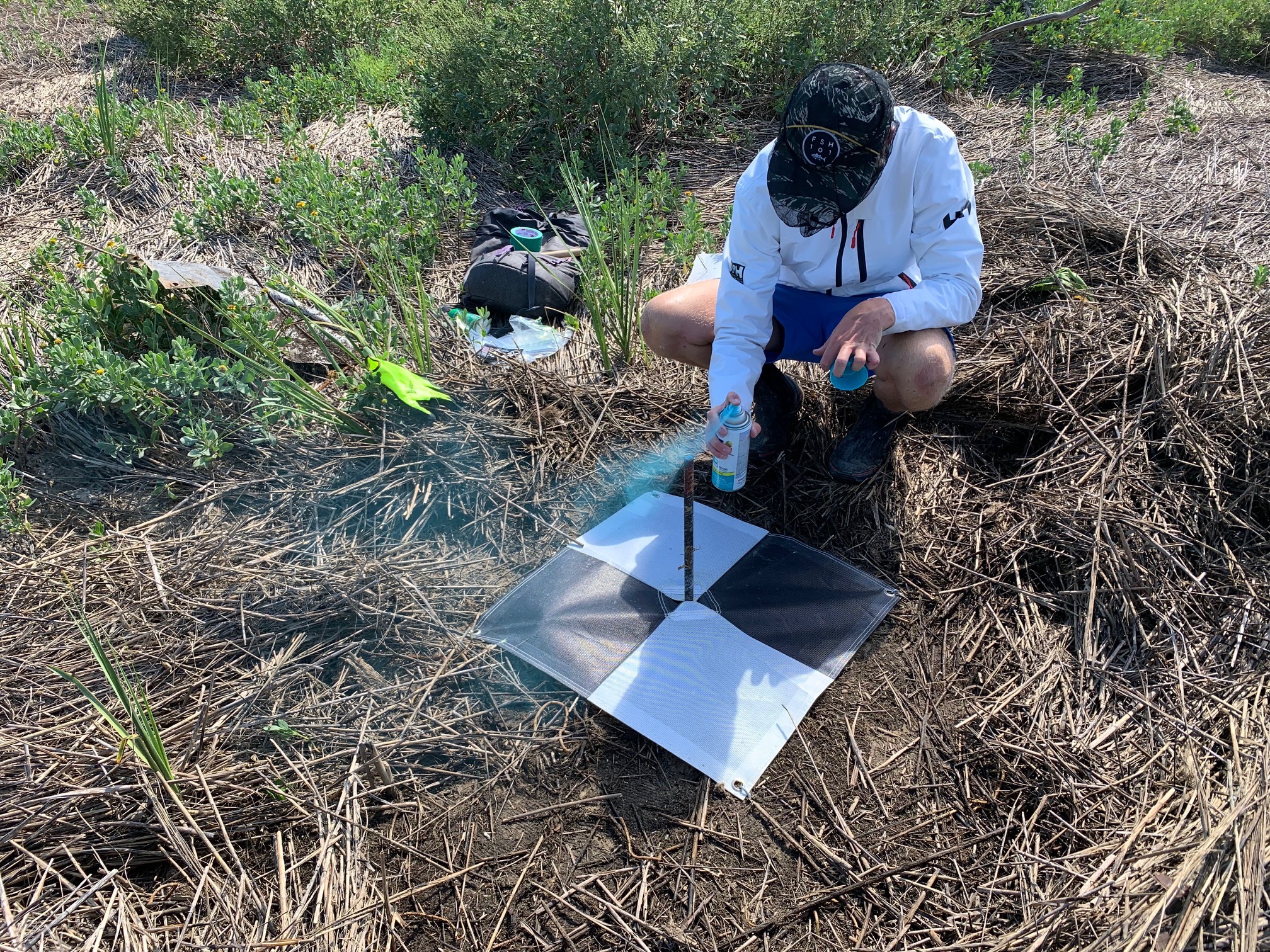
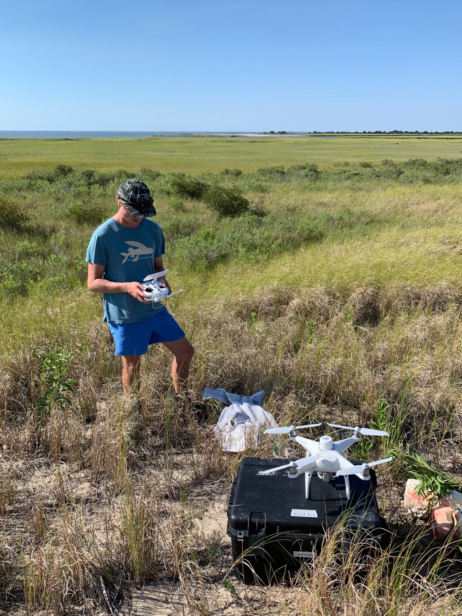
Survey and drone fieldwork